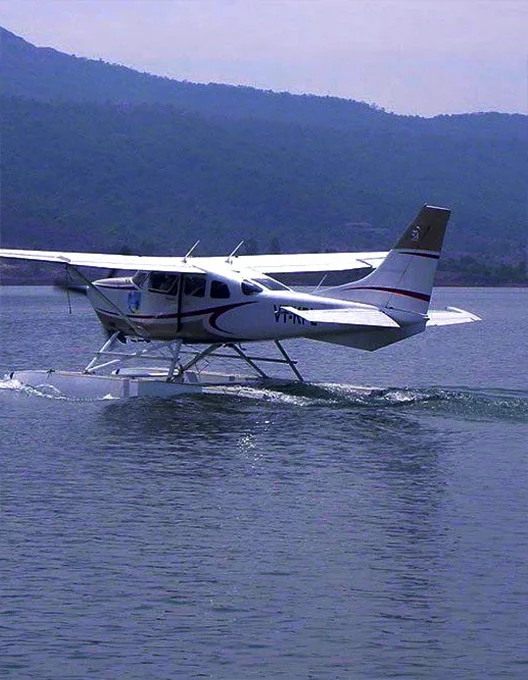
Green Field
Waterdrome

Waterdrome

Brief
Feasibility study using OLS survey for development of waterdromes as an alternative to airports on land with an aim to promote regional air connectivity to boost trade and reduce burden on other modes of transport.

Region
APAC

Challenges

  • OLS survey correlating with existing hydrographic survey data probing runways and taxiways planned on water surface.
  • Logistically challenging due to boat travel for conducting survey
  • Requiring extensive communication with other stakeholders.

Impact
Enabled informed decision making for development of the waterdrome.

Services
OLS

Flying Club

Brief
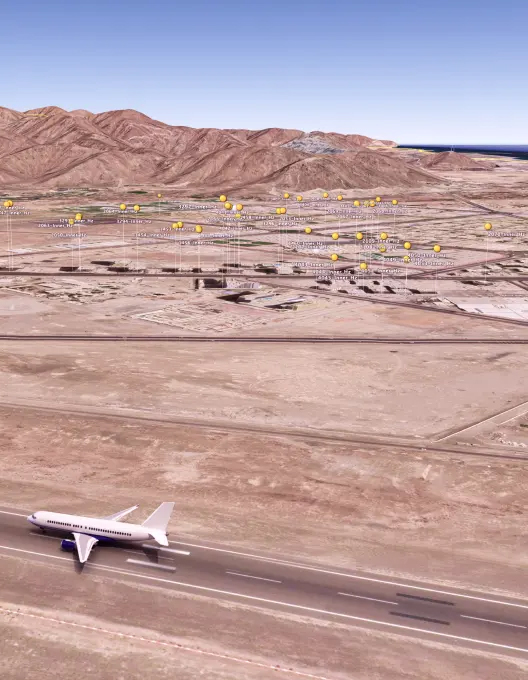
Assist the development of the Airport which will be a future facilitator for tourism, training, trade and transport of the upcoming Al Ain City.

Region
MID

Challenges

  • Extreme desert temperatures.
  • Site In the middle of the desert.
  • Challenging terrain for on ground survey.

Impact
ICAO safety regulations were met through ADL recommendations for obstacle marking, lighting and developing obstacle control and monitoring measures.

Flying Club
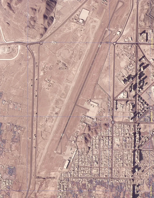
International Airport

International Airport

Brief
OLS and eTod survey for obstacles for latest Aerodrome data and charts for an Airport that is a pioneer in ICAO and DGCA compliances.

Region
APAC

Challenges

  • Heavy traffic on parallel runways.
  • Excessive coordination with respective authorities to ensure safe survey and airport operation.
  • Midnight survey operations due to limited availability of NOTAMs
  • Hybrid technology of Satellite images (Remote Sensing) and terrestrial survey to ensure completeness and accuracy

Impact

  • Recent eAIP data submitted to AAI in ICAO compliant AIXM5.1 format using data delivering tools developed by ADL.
  • Re-alignment of obstacle control, monitoring activities made possible.

International Airport

Brief
ICAO compliant eTOD and AIXM required for Aviation Regulation in the highly active and dynamic international airport.

Region
MID

Challenges

  • The cityscape is full of high-rise buildings and nearby terrain with difference of 1000mtrs in 3Kms.
  • Limited time frame available for surveying inside the airport due to occupancy of the runway.
  • Continuous development of the airport infrastructure.

Impact

  • Publication of latest data sets required for regulatory compliances.
  • Facilitating or procedure design through data collection.

International Airport
Emergency Response.

Emergency Response

Brief
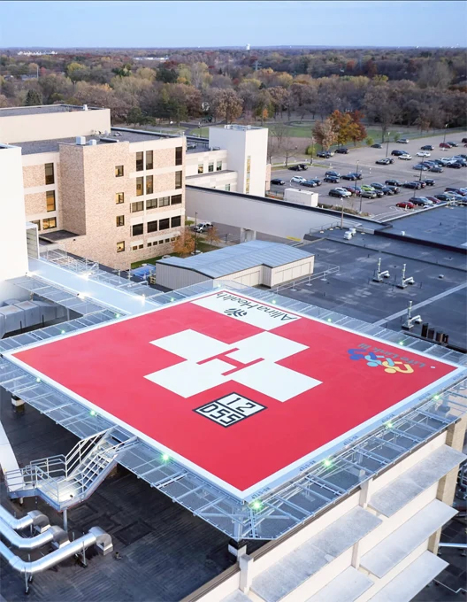
OLS survey for development of Helipad in densely populated area for quick response and medical help.

Region
MID

Challenges

  • Helipad to be constructed for emergency use by Health Authority Hospital.
  • OLS survey to define optimum takeoff and landing path with CAA compliance in developed area with skyscrapers around.

Impact

  • Precise Obstacle control and monitoring.
  • Publication of latest data sets.

V.I.P. Movement

Brief Conduct site feasibility study for helipad construction with OLS Survey for operations before commencement.

Region
APAC

Challenges:

  • Checking proposed site for feasibility of helicopter operations.
  • Identifying obstacles in established helicopter flight path before commencement.

Impact

  • Informed decision for site approval for helipad.
  • Helipad Operation with Safety regulations compliance through obstacle removal and restriction.

Oil Exploration

Oil Exploration Rig

Brief Conducting OLS survey to assist in installation of HAPI to commence night VFR operations on offshore rigs.

Region
APAC

Challenges

  • Deep sea oil rig site location.
  • Site accessible only through air and water.
  • Unstable platform for conducting survey.

Impact

  • Survey assisted in appropriate obstacle mitigation.
  • Resulted in installation of HAPI and helideck lighting for VFR operations.

Onboard Vessel

Brief Conducting OLS survey to assist in installation of HAPI to commence night VFR operations on a vessel.

Region
APAC

Challenges

  • Helideck located on vessel.
  • Due to the roll, yaw and pitch motions of the vessels it is important to conduct the survey with utmost precision.
  • The best time to conduct the survey is when the vessels is anchored or stationed at a port.

Impact

  • Assisted the operator to reach minimum requirement through mitigation measures.
  • Resulted in installation of HAPI and helideck lighting for VFR operations.

Onboard Vessel
Cruise Terminal

Cruise Terminal

Brief
Conducting OLS survey for identifying most effective helicopter landing and take-off path.

Region
MID

Challenges

  • Survey site located at one of the busiest Cruise Terminal surrounded by port installations.
  • Accurate information on obstacles required for safety compliance.

Impact

  • Appropriate obstacle mitigation measures initiated based on survey results and recommendations by ADL.
  • Publication of the latest ICAO and DGCA compliant Heliport data.

Dubai Expo 2020

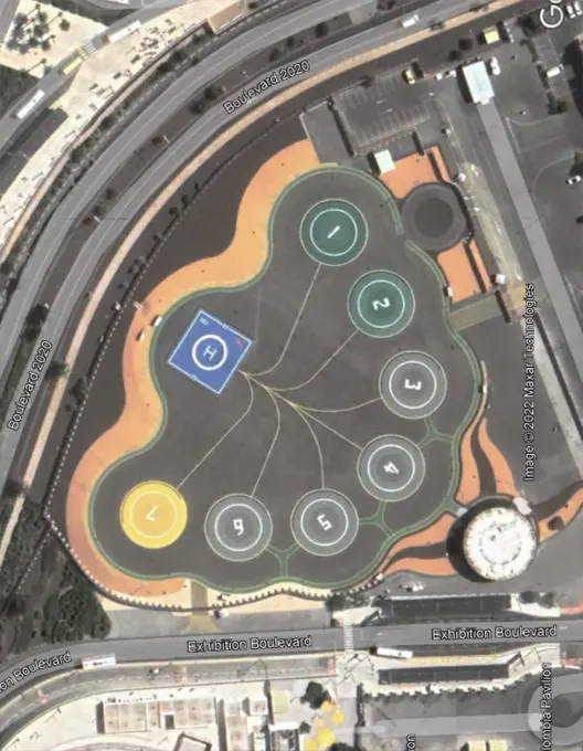
Brief Heliport operations aimed at providing services to World leaders and VVIPs visiting the Dubai Expo 2020. Emergency medical services. 24/7 all weather Heliport operations.

Region
MID

Challenges

  • Survey site location within the premises after commencement of the Expo.
  • Survey to be conducted without disturbing on going constructions and challenging time frame of flat 10 working days.

Impact

  • Optimum care and data integrity led to appropriate obstacle mitigation data and ICAO safety compliance ensuring smooth helicopter operations at the huge Expo site.
  • Publication of the latest Heliport data.

Dubai Expo 2020
Skyscraper

Skyscraper

Brief
Height clearance survey required for a land development project involving construction of around 15 skyscrapers on a 25000 sq mtr area of land close to the airport.

Region
APAC

Challenges

  • Close proximity to airport.
  • Challenging terrain.

Impact
Construction permission granted after survey using various benefits of shielding.

Services
Height Clearance Survey

Skyscraper

Windmills

Brief
Survey of 60 identified windmill locations for a massive renewable energy project and get height clearance through assessment report and submission of relevant documents.

Region:
APAC

Challenges

  • Remote site with hilly terrain.
  • For same Obstacle, analysis had to be carried for multiple nearby airports.

Impact
Data assimilation and analysis after survey resulted in location identification and clearance from authorities for constructing windmills.

Services
Height Clearance Survey | NOC

Skyscraper

Transmission Lines

Brief
Survey to suggest appropriate locations for towers on a 250 km stretch of transmission line traversing through forests, desert and rivers, to get height.

Region
APAC

Challenges

  • Lack of GPS signals in thick forest.
  • On-ground survey team faced wildlife challenges.
  • Various regulations from multiple authorities required to gain permission for every tower location.

Impact
Data assimilation and analysis after survey resulted in location identification and clearance from authorities for installation of transmission lines.

Services
Height Clearance Survey | NOC
Data Publication

Data Publication

Brief
To provide the State with an advanced solution for a globally accepted AIM publication in compliance with ICAO mandates regarding ASBU block upgrades.

Region
APAC

Challenges

  • Multiple data formats for input (PDFs, HTMLs and Notes).
  • Multi department stakeholders and multidimensional data pointers.

Impact

  • Quick implementation with support for data integration from various sources PDFs, HTML, Excel and Word.
  • Unique Pay As You Go subscription designed for efficient financial resource utilization.
  • One click setup for the entire State without need for any specialized manpower.
  • In compliance with ICAO requirements.


NOC

Brief
Replacing the manual process of granting height clearance for all stakeholders for new constructions with a smoother online process.

Challenges

  • Centralized system required for all height clearance application.
  • Optimization through transparency and accuracy.
  • Superior control of obstacle environment.

Impact

  • ADL's one time setup of Multi Airport Configurable NOC Software application mitigated the problems of manual granting of height clearance by taking into consideration AGA surfaces, NAV Aids as well as Procedures.
  • The application has user friendly GIS based interface with 24 hr tracking and role based access control.
  • ADL's NOC Software as a Service application has options to configure multiple airport specifications like Airport Code, RWY Orientation, OLS surfaces, NAV Aids and more.

Services
NOC Software application

NOC

For further insight into projects executed by ADL, kindly contact us.